Kwoiek (Ky eek) Creek
This will take you about a couple hours of driving and how long you stay is up to you. The views, as always are spectacular. If you decide to take the drive, catching a fish or going for a hike would only add to your day, however, due to the Run of the River Power Project underway, some of the landscapes have changed in appearance but the lake is still spectacular.
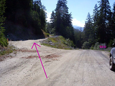
When leaving the cabins go back to 6 km, this is where REO is and the message board. Instead of going down the hill to the bridge keep to the left.
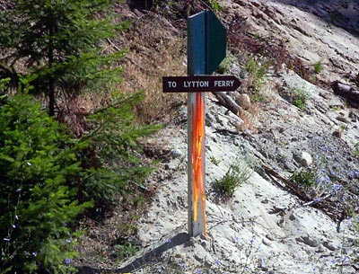
There is also a sign to your left that says “To Lytton Ferry or Keefers”, the road is pretty good, gravel, but remember there will be traffic. Kwoiek Lake is about 32 kms away, so enjoy the drive.
Now lets get going…
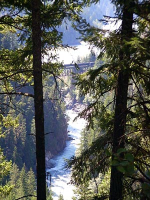
Just getting started, at about 1.5 kms there is a gravel pit on your left (good place to park) and a good view of the CPR Trestle over the Nahatlatch River and a view of the Fraser River. There are trees in the way of the view but it is a site to see with a train going over the trestle.
Getting started again you will find that you are following up the Fraser River, CPRail, CNRail and the Number 1 Hwy. At 5.5km you will pass the Lazy J Ranch on your left, at 6km there is a Y in the road, stay left. Starting up the hill you will pass a graveyard to your left and some cabins on your right, keep going. A 7 kms sign will be the last kms sign you will see. Now you are under the Hydro Line, you will follow these lines for quite some time.
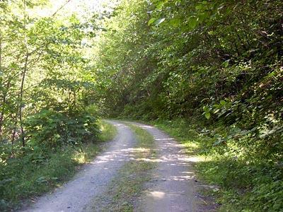
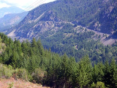
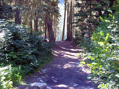
This is the view you will see a lot of for the next 10 kms. When traveling this road at about 9.5 kms and again at 14.5 kms, there will be rocks on the road which you will most likely need to remove. Traveling on, at 17kms there is a Y in the road, stay left and the next sign on the road is Kwoiek Creek.
There is a power project being built so the road has changed.
You can still get to the lake but need to ask if it is OK to proceed and do so with caution.
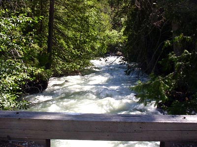
The next bridge is a Bailey Bridge at 20 kms.
This bridge is a little narrow but not a problem to cross.
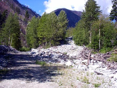
Just around the corner at 21 kms is a wash out from a flash flood. Lots of rocks. The road is a little rough but not a problem. On the way you will be able to see just how rugged this area is. You will also be able to see evidence of a 2003 fire in the valley.
At about 29 kms there is another Y in the road. Stay to the right, but if you don’t the road goes down to the river, so you just have to go back the way you came.
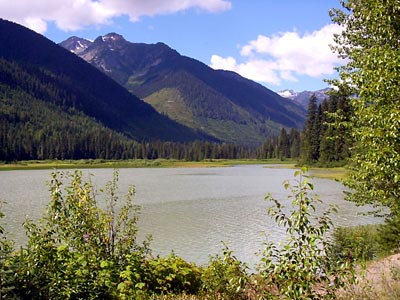
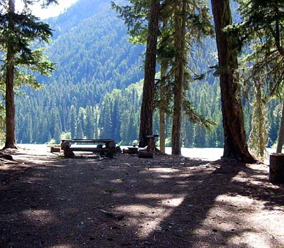
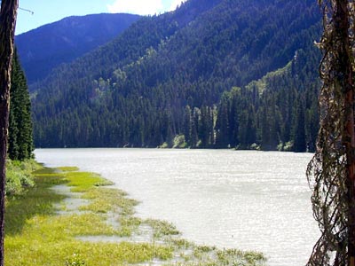
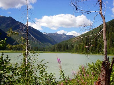
Just a couple of more kms and at 32 kms you will come to the first lake, Kwoiek Lake.
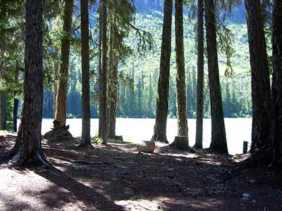
Here, there is a large area to pull over and also just before you get to the lake there is a camping spot. Nice place to have lunch and a break from driving. If you bought your canoe this is just the spot to put it in the lake. Good luck with the fishing.
This is as far as you can go. As of October 1, 2004 the bridges have been taken out so you can‘t go any further. It‘s to bad because there were some greatviews.
This is the view you will see a lot of for the next 10 kms. When traveling this road at about 9.5 kms and again at 14.5 kms, there will be rocks on the road which you will most likely need to remove. Traveling on, at 17 kms there is a Y in the road, stay left and the next sign on the road is Kwoiek Creek.
There is a power project being built so the road has changed.
You can still get to the lake but need to ask if it is OK to proceed and do so with caution.
The lake is about 1 km long, so there’s lots of boating and fishing to do.
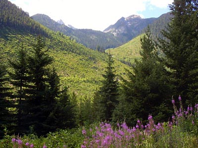
So here comes the great views and the rough and over grown roads.
There are natural water cross ditches and some that are put in.
There’s lots to see but you can‘t get there, you can’t get across the river. To Bad.